Clarendon County paid $123,220 for 13.88 acres of land at the end of the runway at Santee Cooper Regional Airport pursuant to the state's Eminent Domain Act, records show.
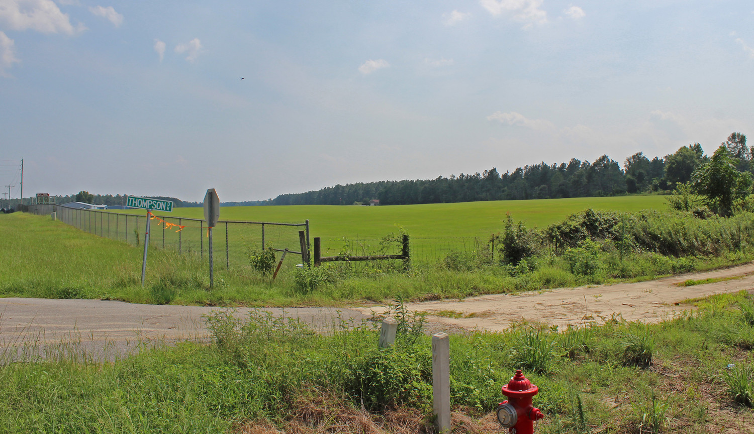
According to the Assessor's Office, that parcel -- just off S.C. 260 with Thompson Road running through it -- is valued at $34,800.
Clarendon County is listed as the "comdemnor," records show, and was pitted against the heirs of Mary McKnight and 19 other people in a Court of Common Pleas case.
Although extending the runway has been a goal for county officials for some time, Aeronautics Commission Chairman Hal Lowder said that tract is one of three parcels with trees that "penetrate safety zones for approaches and departures."
"The big picture is that runway realignment is dead in the water for now," he said, and the short term goal is to remove problematic trees. "It's just not possible to bring airplanes in and out safely with those trees, but no one would let you cut the trees."
Eminent domain was the only option left, he said, and the trees will be clear cut.
"Now taxpayers won't have to pay to top a tree for 20 years or more," he said.
The airport is owned by the county and Precision Air Company is the fixed base operator.
According to the Federal Aviation Administration, the asphalt runway is 3,602 feet long and 75 feet wide. Sky Vector Aeronautical Charts shows the airport lies 7 nautical miles south of Manning on 67 acres of land.
Lowder said officials would like to extend the runway another 600 feet, but it might be better in the long run to realign it running northwest to southeast. Disturbing historic churches and graveyards as well as impacting S.C. 260 are considerable impediments, he said.