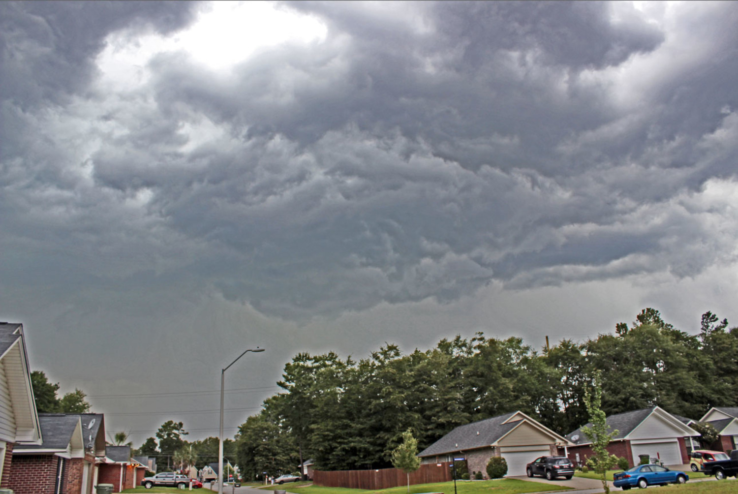
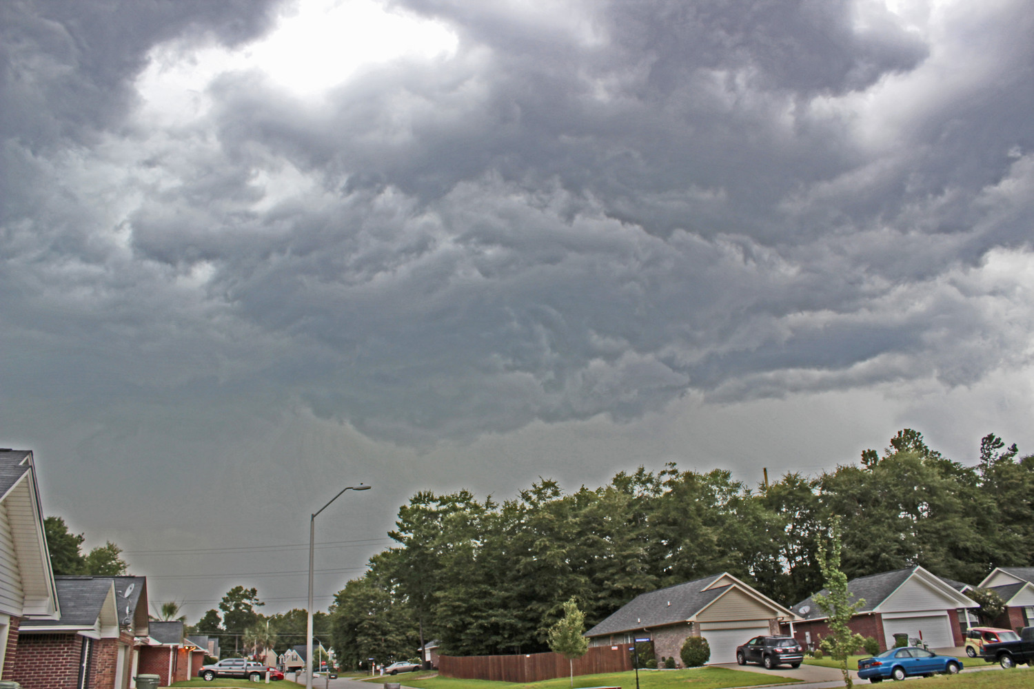
According to the National Weather Service, a hazardous weather outlook is in effect.
Right now we're experiencing temperatures in the upper 80s with a high near 93. Winds out of the southwest are reaching 6 mph.
The hazardous weather outlook covers the Midlands of South Carolina and the central Savannah River (CSRA) area of Georgia and calls for heavy rainfall that may occur late this afternoon and evening.
Low lying areas and streams might get flooded.
Saturday's forecast calls for likely showers and thunderstorms, mainly after 2 p.m. with a high near 91. Temperatures should reach the low 70s.


